Peta 'Java Le Grande'
16:11
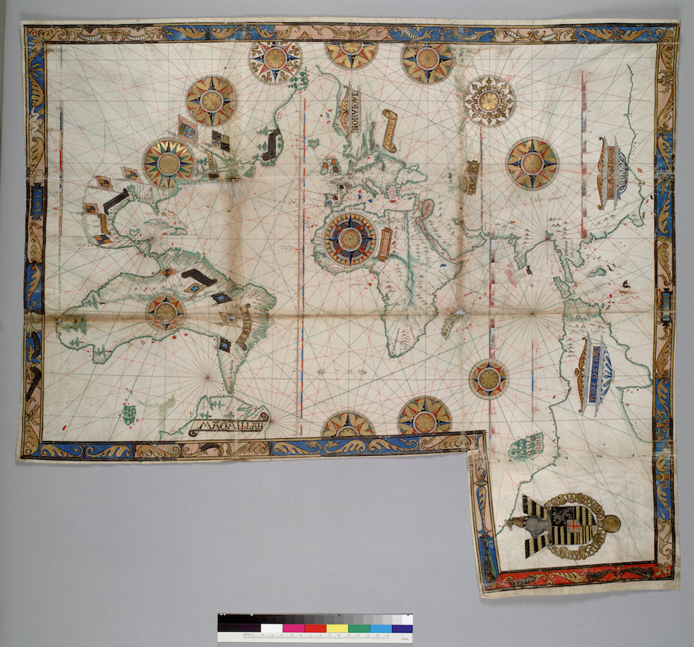
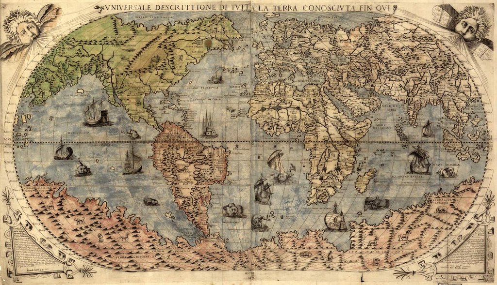
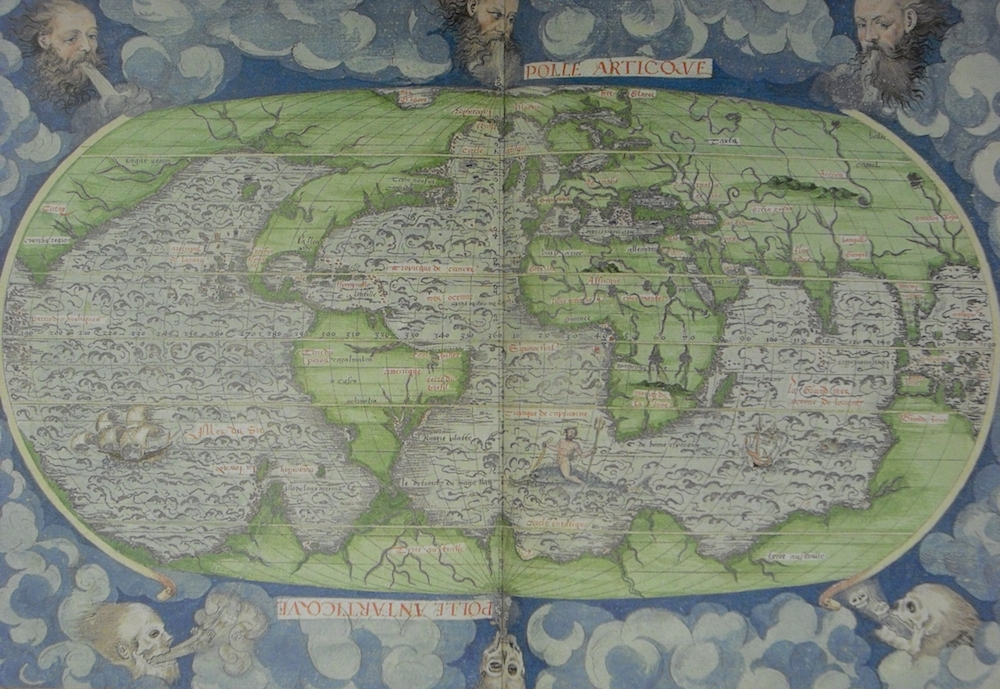
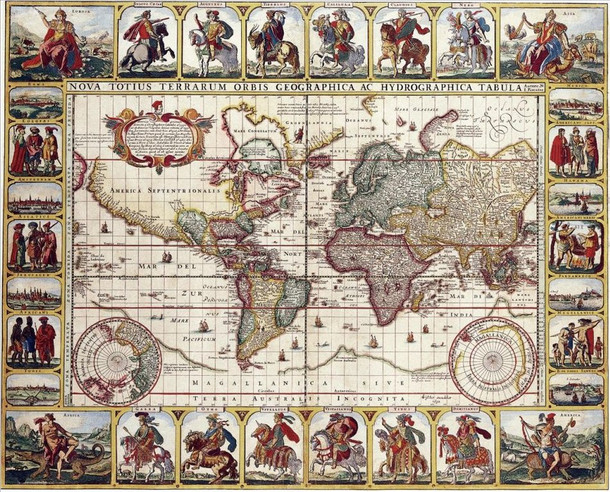
Mungkin ada yang bertanya-tanya tentang Java La Grande dari artikel sebelum ini. Java La Grande atau Jawa Besar merujuk pada nama sebuah daratan luas di bagian selatan Indonesia sebelum tahun 1500-an. Pada peta-peta Dieppe atau Dauphin banyak versi kartografi (pemetaan) dunia yang berbeda pada tahun-tahun yang berbeda.
Salah satu yang paling banyak adalah peta Dieppe (dibuat di Dieppe, Prancis) pada tahun 1540-1560. Peta-peta ini dbuat dengan tangan dalam ukuran besar untuk orang-orang kaya atau bangsawan. Beberapa nama kartografer dari sekolah Dieppe adalah Pierre Desceliers, Johne Rotz, Guillaume Le Testu, Guillaume Brouscon dan Nicolas Desliens. Selain Dieppe, ada juga peta Cantino dari Portugis di tahun 1502, Piri Reis dari Constantinopel di tahun 1513 dan Dauphin di antara tahun 1530-1536, dan banyak lagi.
image via wikipedia
Pertanyaannya: mengapa ada berbagai macam versi peta di masa itu? Apa para kartografer di jaman itu kurang teliti sehingga terdapat banyak kesalahan dalam penggambaran peta?
Jawabannya mungkin sesimpel "ada banyak peristiwa alam yang terjadi dalam kurun waktu itu yang mengubah peta dunia". Dan memang banyak terjadi perubahan peta--kalau kita sadari--banyak nama-nama peradaban hebat yang menghilang dari muka bumi, seperti Sparta, Mesopotamia, Sumeria, Babilonia, Shangri-La, Atlantis, dan banyak lagi.
Yang menarik di sini, semua peta menunjukkan bagian selatan Indonesia yang membesar memenuhi bagian selatan bumi, sementara bentuk benua lain tidak begitu jauh berbeda dengan yang ada sekarang. Hal ini memperkuat teori Sunda sebagai agama dan Galuh sebagai bangsa yang tersebar luas hampir di seluruh muka bumi, bukan? Gimana menurutmu?
'Java La Grande' Maps
Perhaps some of you had been questioning about Java La Grande from the former article. Java La Grande or the Grand Java refers to the name of a vast land in the south of Indonesia before the 1500s. On the Dieppe or Dauphin maps there are many versions of cartography of the world in different years.
One of the many versions is Dieppe maps (which made in Dieppe, France) in 1540-1560. These are large hand-produced maps, commissioned for wealthy and royal patrons. The Dieppe school of cartographers included Pierre Desceliers, Johne Rotz, Guillaume Le Testu, Guillaume Brouscon and Nicolas Desliens. Besides Dieppe, there are also Cantino maps from Portuguese in 1502, Piri Reis from Constantinople in 1513 and Dauphin maps between 1530-1536, and many others.
The question now: why were there so many versions of world map in that era? Were the cartographer being careless and made so many mistakes in the map drawing?
The answer might be as simple as "there were many natural disasters happened in that range of time that changed the world map". And there were that many changes of the maps--if we realize it--many of the names of great civilizations are now gone from the Earth, such as Sparta, Mesopotamia, Sumeria, Babilonia, Shangri-La, Atlantis, and many others.
What makes it interesting, all of these ancient maps are showing the south of Indonesia that occupied the south part of the Earth, while the other continents looked not too different with the existing. This just strengthen the theory of Sunda as the religion and Galuh as the nation that were spread almost all around the world, doesn't it? What do you think?
Rahayu.





0 comments
Terima kasih sudah memberi komentar. Mohon kesabarannya menunggu saya baca dan balas komennya ya. Rahayu.